Integrated Communication and Dispatch Command Systems for Emergency Management
Integrated communication and dispatch command systems explained for emergency management, covering dispatch centers, GIS, radio, 911 and NG911, satellite links, cybersecurity, interoperability, AI, IoT and resilient response planning.
Becke Telcom
Emergency management depends on one simple but difficult requirement: the right information must reach the right people at the right time. During fires, floods, traffic accidents, industrial incidents, public safety events, medical emergencies, and natural disasters, response teams cannot rely on scattered phone calls or isolated radio channels alone. They need a coordinated communication and dispatch command system that can receive reports, verify location, assess the situation, assign resources, and support field teams in real time.
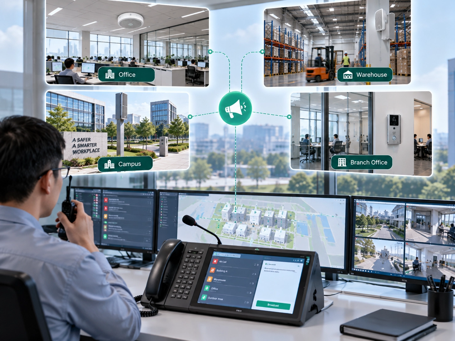
An integrated communication and dispatch command system brings call taking, radio communication, computer-aided dispatch, GIS mapping, incident command, video, sensors, public warning, and interagency coordination into one operational environment. The purpose is not only to connect devices, but to create a shared command workflow. Dispatchers, commanders, field responders, hospitals, public utilities, transport departments, and emergency agencies should be able to work from the same information picture instead of operating in separate silos.
This article explains the core logic of integrated emergency communication, the system components behind it, the technologies that support resilient dispatch, the standards that guide coordination, and the practical issues that should be considered when building or upgrading a command platform.
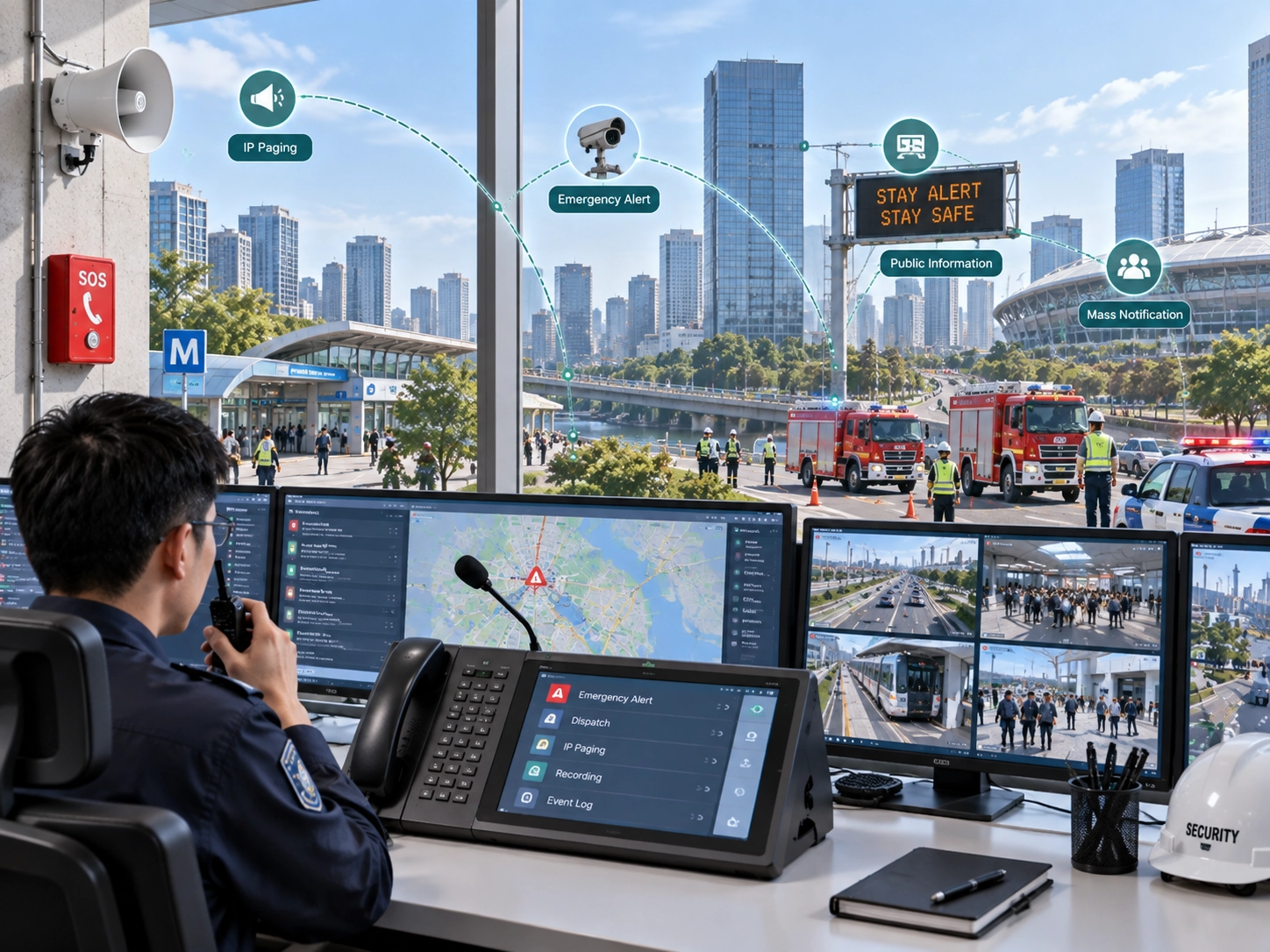
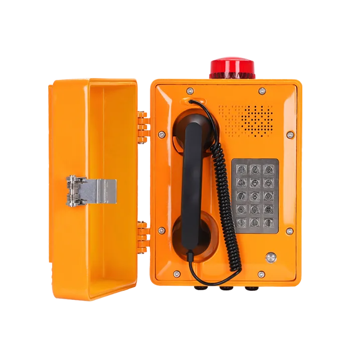
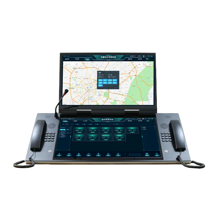
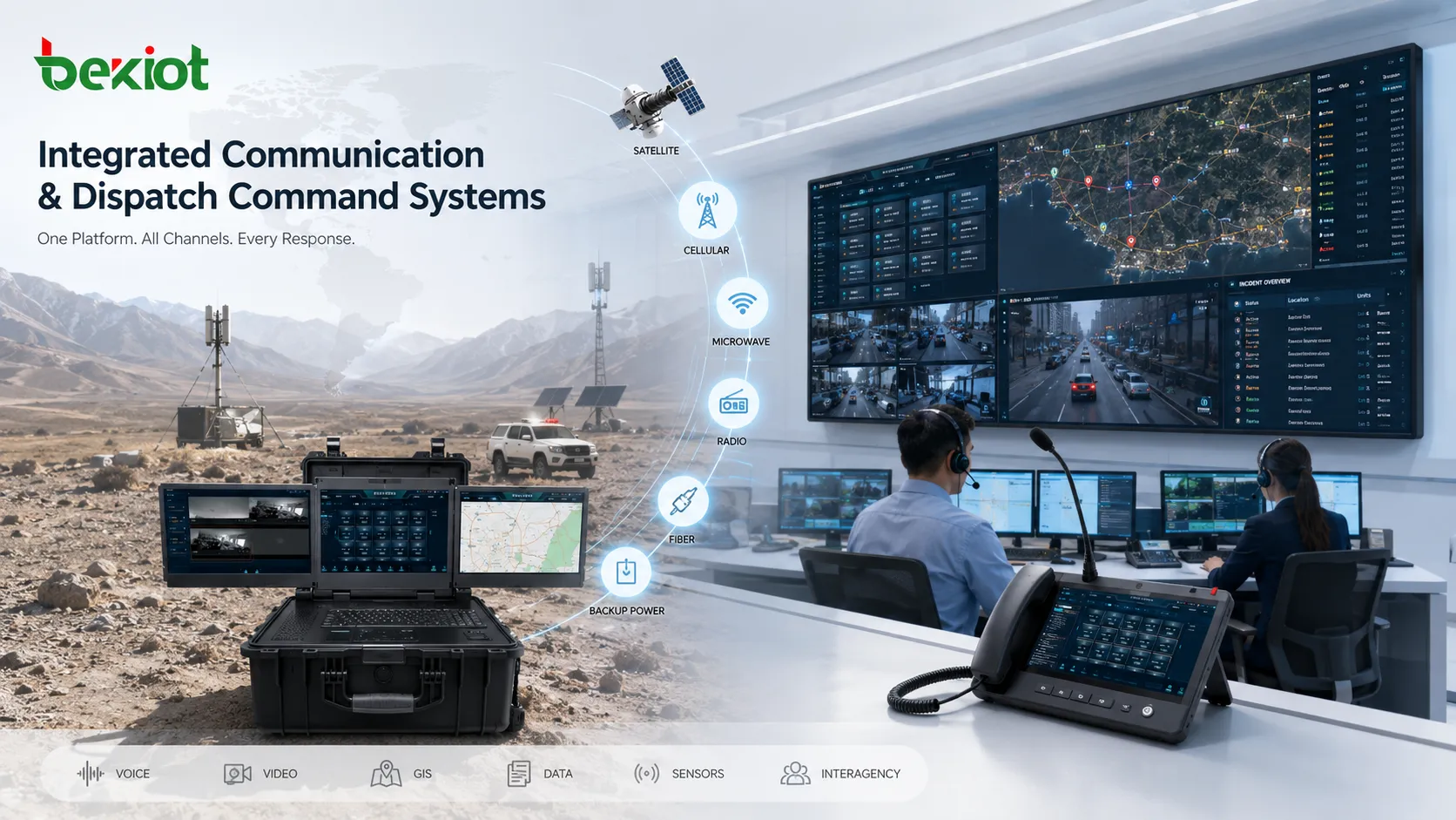
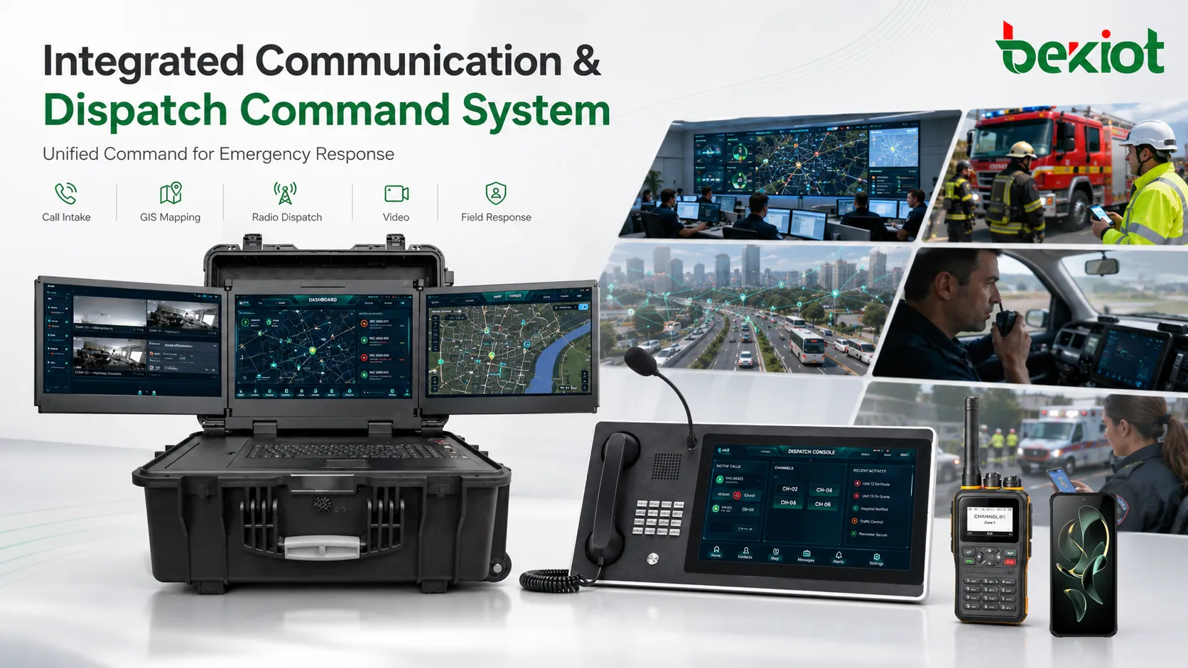
Integrated command systems connect emergency reports, dispatch centers, field responders, GIS information, and communication networks into one coordinated response workflow.
Why integration matters in emergency response
Emergency incidents rarely stay inside one department. A serious road accident may involve police, fire rescue, ambulance services, traffic control, hospitals, towing teams, and public information officers. A flood may involve emergency management, water authorities, transport departments, utility companies, shelter operators, and local government. If these teams cannot exchange information quickly, response time increases and decisions become less reliable.
Traditional communication structures often developed separately. Police may have their own radio system, fire services may use another dispatch workflow, medical teams may operate through a different call center, and local government may manage public alerts through a separate platform. Each system may work internally, but the overall response suffers when information has to be repeated manually between agencies.
Integrated dispatch reduces this gap. It allows call information, incident location, responder status, resource availability, video feeds, sensor alarms, and command decisions to be shared through a coordinated platform. The result is better situational awareness, faster deployment, clearer responsibility, and more consistent incident records.
From isolated radio rooms to digital command platforms
Early emergency communication relied heavily on local radio channels, telephone lines, and agency-specific dispatch rooms. These tools were effective for basic voice communication, but they were limited when several agencies needed to coordinate during large incidents. Information often moved by voice only, and records depended heavily on manual notes.
The introduction of centralized emergency numbers and public safety answering points improved access for the public, but many systems still remained divided by agency or jurisdiction. Over time, digital radio, trunked communication, computer-aided dispatch, GIS, and incident command standards helped create a more structured approach.
The current direction is IP-based and data-driven. Modern emergency platforms can receive voice calls, text, images, video, location data, sensor events, and field updates. They can route information to the correct agency, display incidents on a map, recommend available resources, and maintain a complete record for review. This shift turns dispatch from a voice-only process into a broader command information system.
Core architecture of an integrated system
A complete emergency communication and dispatch platform usually includes several connected layers. Each layer plays a different role, but the system only becomes truly useful when these layers share data reliably.
System Layer
Main Function
Operational Value
Call intake
Receives emergency calls, text reports, multimedia messages, and public requests.
Creates the first incident record and starts the response workflow.
Dispatch center
Handles resource assignment, radio communication, CAD operation, and incident tracking.
Coordinates responders and maintains operational control.
GIS and location services
Maps incident locations, responder positions, routes, hazards, and affected areas.
Improves deployment accuracy and situational awareness.
Voice and radio networks
Connects dispatchers, command posts, field units, mobile teams, and agencies.
Keeps responders connected during routine and emergency operations.
Data integration
Links sensors, video, databases, social reports, public alerts, and partner systems.
Builds a more complete picture of the incident.
Command platform
Supports incident command, resource overview, decision support, and reporting.
Helps leaders coordinate multi-agency actions.
Dispatch centers and command rooms
The dispatch center is the operational nerve center of the system. It receives incident reports, confirms location, classifies urgency, dispatches resources, communicates with field teams, and updates the incident record. In many regions, dispatch centers are consolidated so that police, fire, medical, and other emergency calls can be handled from a shared facility or coordinated platform.
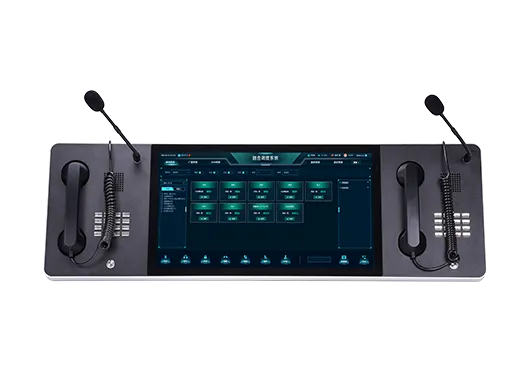
A modern command room usually includes computer-aided dispatch software, radio consoles, telephony systems, GIS screens, video walls, recording systems, and supervisor workstations. The dispatcher’s role is not only to answer calls. Dispatchers must interpret information quickly, assign the correct resources, monitor field response, update commanders, and escalate incidents when conditions change.
In larger events, the dispatch center may work together with an emergency operations center or an incident command post. The dispatch center handles communication flow and resource updates, while command staff focus on strategy, interagency coordination, public messaging, and operational priorities.
Communication networks and redundancy
Emergency communication needs more than one network path. Landline, mobile, radio, satellite, broadband, microwave, mesh, and private fiber networks may all have a role depending on the incident type and location. A single network may fail because of power loss, congestion, physical damage, cyberattack, or environmental conditions.
Radio systems remain important because they support group communication and field coordination. Cellular and broadband networks add data, video, location sharing, and mobile applications. Satellite links are valuable when terrestrial infrastructure is damaged or unavailable. Private backhaul and redundant fiber routes protect command centers and dispatch hubs from single points of failure.
Resilience comes from design. Critical sites should consider backup power, redundant routers, alternate backhaul, local fallback modes, priority voice traffic, portable communication kits, and regular failover testing. A system that works only under normal conditions is not enough for emergency management.
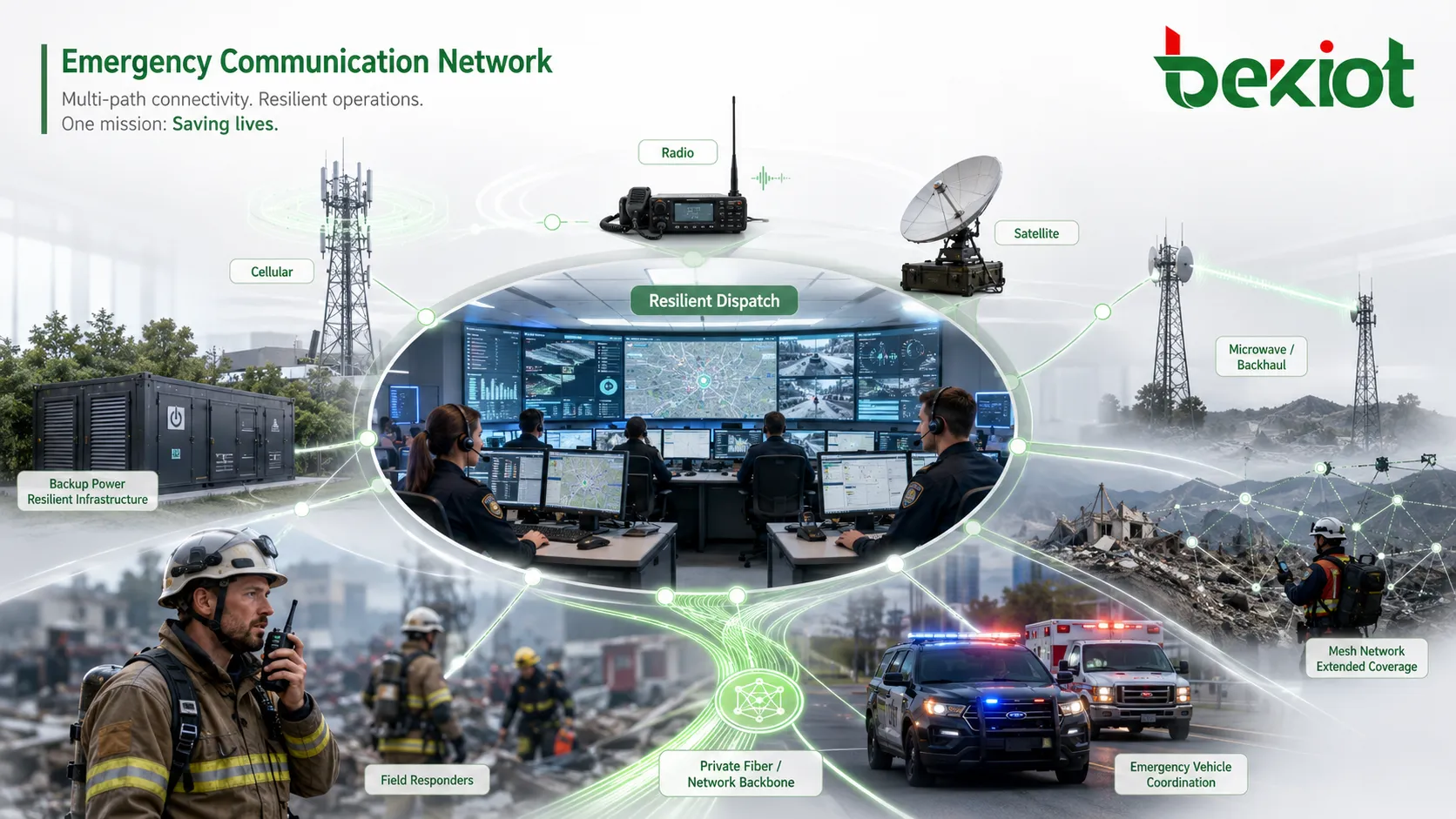
Resilient emergency communication depends on multiple network paths, backup power, redundant backhaul, and tested failover procedures.
GIS and common operating picture
Location is one of the most important pieces of emergency information. GIS allows dispatchers and commanders to see incident points, nearby responders, hospitals, shelters, fire hydrants, evacuation routes, road closures, flood zones, utility assets, and other operational layers on a shared map.
A common operating picture helps different agencies work from the same situation view. Instead of each team maintaining a separate map or spreadsheet, the command platform can show current incident status, assigned resources, movement of field units, hazard zones, and infrastructure conditions.
GIS also supports planning and review. Before incidents, agencies can analyze risk areas and resource coverage. During incidents, they can route responders and define zones. After incidents, they can review timelines, movement patterns, and response gaps.
Data sharing and decision support
Integrated dispatch is strongest when it combines voice communication with useful data. Incident records, caller location, responder status, hospital capacity, traffic data, weather information, sensor alarms, CCTV, drone video, and public reports can all improve decisions if they are organized correctly.
Decision support tools help dispatchers and commanders interpret that data. The system may suggest the closest available unit, identify duplicate reports, flag high-risk locations, display hazardous material information, or recommend escalation based on incident type. These tools should assist human operators rather than replace judgment.
The challenge is filtering. Emergency teams do not need every possible data feed during a crisis. They need accurate, relevant, and timely information. A good platform should reduce confusion, not create another layer of noise.
Emergency communication technologies
Different technologies support different parts of the emergency workflow. The right mix depends on the geography, risk profile, agency structure, and available infrastructure.
Public emergency call networks
Emergency number systems connect the public with call takers and dispatchers. Modern systems are moving toward IP-based architectures that can support voice, text, location data, and multimedia information. This helps call centers understand incidents more quickly and route information more accurately.
Digital radio and broadband communication
Digital trunked radio systems provide resilient group voice for responders. Broadband networks add video, messaging, mapping, database access, and mobile applications. In many emergency systems, radio remains the primary voice tool while broadband supports richer situational data.
Satellite and temporary networks
Satellite communication can maintain links when local infrastructure is damaged or unavailable. Temporary Wi-Fi, portable cell sites, mobile command vehicles, and mesh networks can also help restore connectivity during disasters or large events.
Drones and mobile sensors
Drones and sensors provide new information sources for command centers. Aerial video, thermal imaging, environmental monitoring, flood sensors, air-quality readings, and mobile inspection units can help commanders understand conditions before sending personnel into dangerous areas.
Standards and command protocols
Technology alone cannot create coordinated emergency response. Agencies also need shared procedures, terminology, data formats, and command structures. Standardization helps different teams cooperate even if they come from separate organizations.
Incident command frameworks define roles, responsibilities, escalation structures, and communication channels. Emergency communication standards define how calls, alerts, locations, incident data, and resource information should be exchanged. Public warning standards help alerts move across mobile networks, radio, television, sirens, apps, and digital signage.
Interoperability should be tested in exercises, not assumed during real disasters. Agencies should verify that radio channels, CAD systems, GIS layers, alert platforms, hospital contacts, and command procedures actually work together under pressure.
Protects the integrity and availability of critical communication.
Cybersecurity and information integrity
As emergency systems become more digital, cybersecurity becomes part of public safety. A dispatch platform may contain caller data, responder locations, medical information, incident plans, access credentials, video feeds, and infrastructure data. If these systems are disrupted or manipulated, response operations can be affected.
Security should include encryption, strong authentication, role-based access, secure APIs, network segmentation, logging, backup, and disaster recovery. Systems should be protected against ransomware, denial-of-service attacks, unauthorized access, false data injection, and insider misuse.
Information integrity is just as important as confidentiality. Dispatchers and commanders must be able to trust that location data, sensor readings, public reports, and resource status are accurate. Verification workflows, trusted data sources, audit trails, and anomaly detection all help reduce the risk of acting on false information.
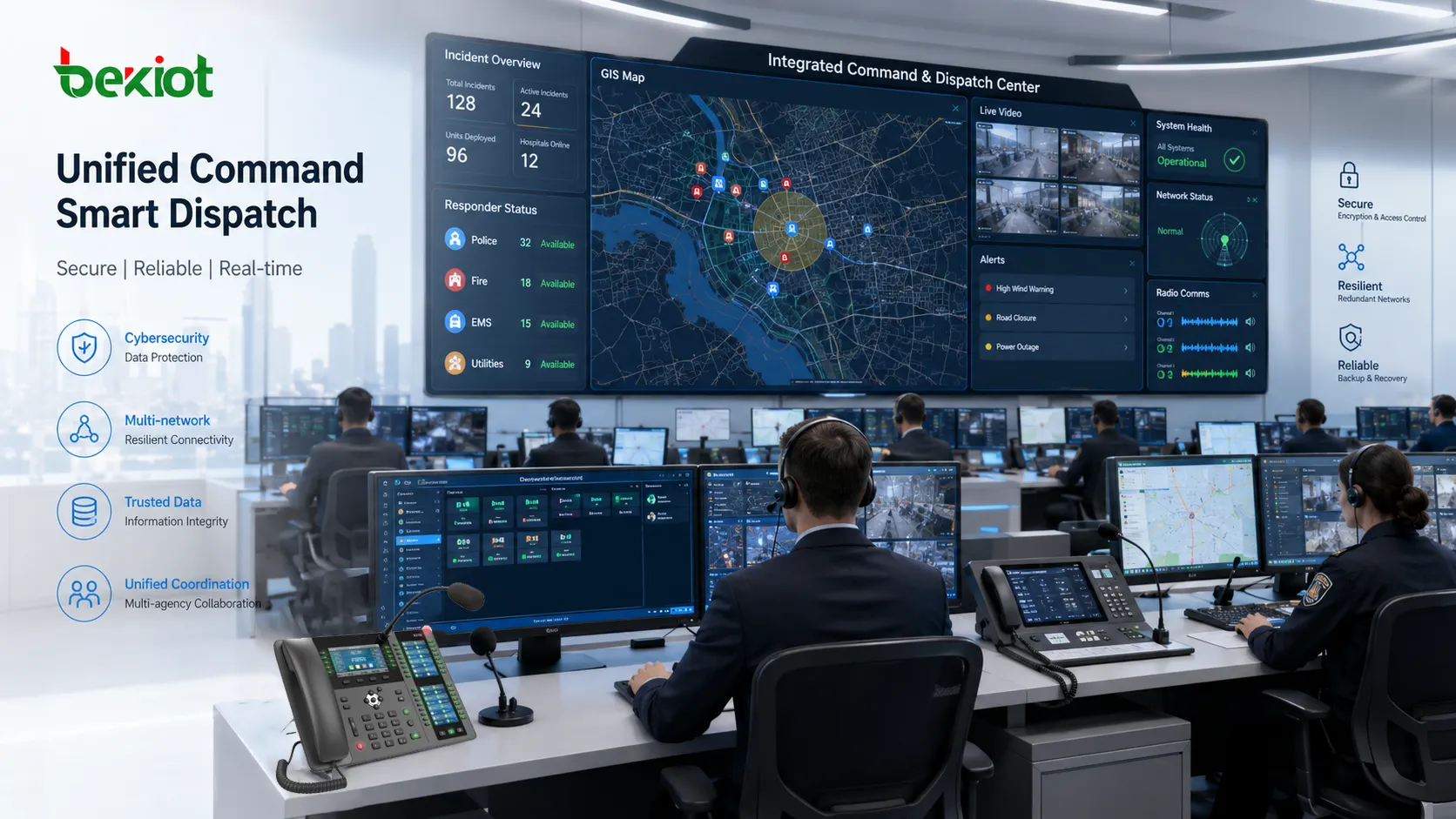
GIS dashboards, incident records, responder locations, and trusted data feeds help command teams build a shared operating picture.
Case-based lessons from real deployments
Different countries and regions have developed emergency communication systems in different ways, but several lessons appear consistently. Consolidated call centers can improve coordination when they are supported by clear procedures and shared data. National or regional standards help agencies cooperate. Backup communication paths are essential when large disasters damage local infrastructure.
Japan’s earthquake and tsunami experience, large hurricane responses in the United States, urban command platforms in Asia, and public safety broadband projects all show the same pattern: communication failure can slow response, while integrated systems can help agencies share information and deploy resources more effectively.
These cases also show that technology must be supported by training and governance. A command center with advanced screens and data feeds is not enough if agencies do not understand how to share responsibility, confirm information, and coordinate decisions.
Challenges in implementation
Building an integrated system is difficult because emergency management crosses many organizational boundaries. Police, fire, medical services, utilities, transport agencies, hospitals, government departments, and private partners may all have different tools, budgets, procedures, and data rules.
Technical integration is only one part of the challenge. Agencies must also agree on governance, privacy, access rights, data ownership, operational procedures, training, and maintenance responsibilities. Without these agreements, the platform may exist technically but fail operationally.
Another challenge is long-term sustainability. Emergency systems must be tested, updated, secured, and funded continuously. Hardware ages, software changes, cyber threats evolve, and personnel rotate. A system that is not maintained will gradually lose reliability.
Future direction
Integrated communication and dispatch will continue moving toward faster data exchange, more intelligent decision support, and wider public engagement. AI may help classify calls, detect duplicate incidents, summarize reports, predict resource demand, and identify risk patterns. These tools can reduce workload, but they require oversight, transparency, and careful validation.
5G and future broadband networks may improve video sharing, responder mobility, drone integration, augmented reality support, and large-scale IoT connectivity. Edge computing may help process emergency data closer to the incident scene, reducing delay and keeping some functions available even when central networks are under pressure.
IoT sensors, smart city platforms, social media reports, and mobile apps will also become more important. The challenge will be selecting useful information from large volumes of public and machine-generated data. Future systems must become smarter without overwhelming dispatchers and commanders.
Planning checklist
A strong emergency communication project should begin with operational needs, not technology selection. The project team should understand who communicates with whom, what information is needed, which agencies must cooperate, and what failure conditions must be survived.
Map the response workflow: define call intake, dispatch, field reporting, escalation, command transfer, and public warning processes.
Identify participating agencies: include police, fire, EMS, utilities, transport, hospitals, emergency management, and other relevant partners.
Review communication channels: assess radio, cellular, satellite, broadband, landline, public alerting, and temporary network options.
Design redundancy: plan backup power, alternate backhaul, failover servers, portable command units, and local fallback procedures.
Integrate location data: ensure GIS, caller location, responder location, evacuation zones, and critical assets can be displayed accurately.
Test interoperability: run joint exercises to verify that agencies, systems, protocols, and people can work together during pressure.
Common mistakes and better fixes
Mistake
Typical Problem
Better Fix
Starting with technology instead of workflow
The platform may not match real incident handling procedures.
Define operational workflows, agency roles, and escalation paths before system selection.
Building separate agency systems
Information still has to be repeated manually between departments.
Use shared data standards, common dashboards, and agreed interagency protocols.
Ignoring backup communication
Dispatch may fail when power, cellular, fiber, or local infrastructure is damaged.
Plan satellite, radio, portable networks, redundant backhaul, and backup power.
Overloading operators with data
Important information may be hidden inside too many feeds and alerts.
Filter information by incident type, role, urgency, and location relevance.
Weak cybersecurity planning
Critical systems may be exposed to ransomware, misuse, or data tampering.
Use secure architecture, monitoring, access control, recovery plans, and regular testing.
No regular drills
Systems may appear integrated but fail when agencies work together under pressure.
Conduct joint exercises, after-action reviews, and continuous improvement cycles.
How to judge whether the system is suitable
A suitable system should make emergency response clearer, not more complicated. Dispatchers should be able to receive reports, confirm location, assign resources, communicate with field units, update incident status, and escalate events without switching between too many disconnected tools.
The second check is interagency usability. Police, fire, medical, transport, utilities, and emergency management teams should be able to share the information they need while still respecting permissions, privacy, and operational boundaries.
The third check is resilience. The system should continue operating during network congestion, infrastructure damage, power loss, cyber pressure, and high call volume. Backup communication paths should be tested, not only documented.
The final check is continuous improvement. Emergency communication platforms should support logs, recordings, after-action review, training, and system updates so that every incident can improve the next response.
Conclusion
Integrated communication and dispatch command systems are a strategic foundation for modern emergency management. They bring together call taking, dispatch, radio, GIS, public warning, data sharing, video, sensors, cybersecurity, and incident command into a coordinated operational environment.
Their value is not measured only by the number of technologies connected. The real value is whether responders can understand the situation faster, deploy resources more accurately, communicate across agencies, maintain service during disruptions, and review incidents afterward. When people, procedures, networks, and data are aligned, integrated dispatch becomes a practical tool for saving time, reducing confusion, and improving public safety outcomes.
FAQ
What is an integrated communication and dispatch command system?
It is a coordinated platform that connects emergency call intake, dispatch, radio communication, GIS, resource tracking, alerts, data sharing, and command workflows so agencies can manage incidents together.
Why is integration important in emergency management?
Integration reduces information silos. It helps different agencies share incident details, coordinate resources, view the same operating picture, and respond faster during complex events.
What technologies are commonly included?
Common technologies include emergency call networks, CAD, radio systems, GIS, broadband communication, satellite links, video, sensors, public warning platforms, cybersecurity tools, and data analytics.
How does GIS improve dispatch operations?
GIS helps locate incidents, show nearby responders, display routes and hazards, map evacuation areas, and create a shared operating picture for dispatchers and commanders.
What should be checked before upgrading a dispatch system?